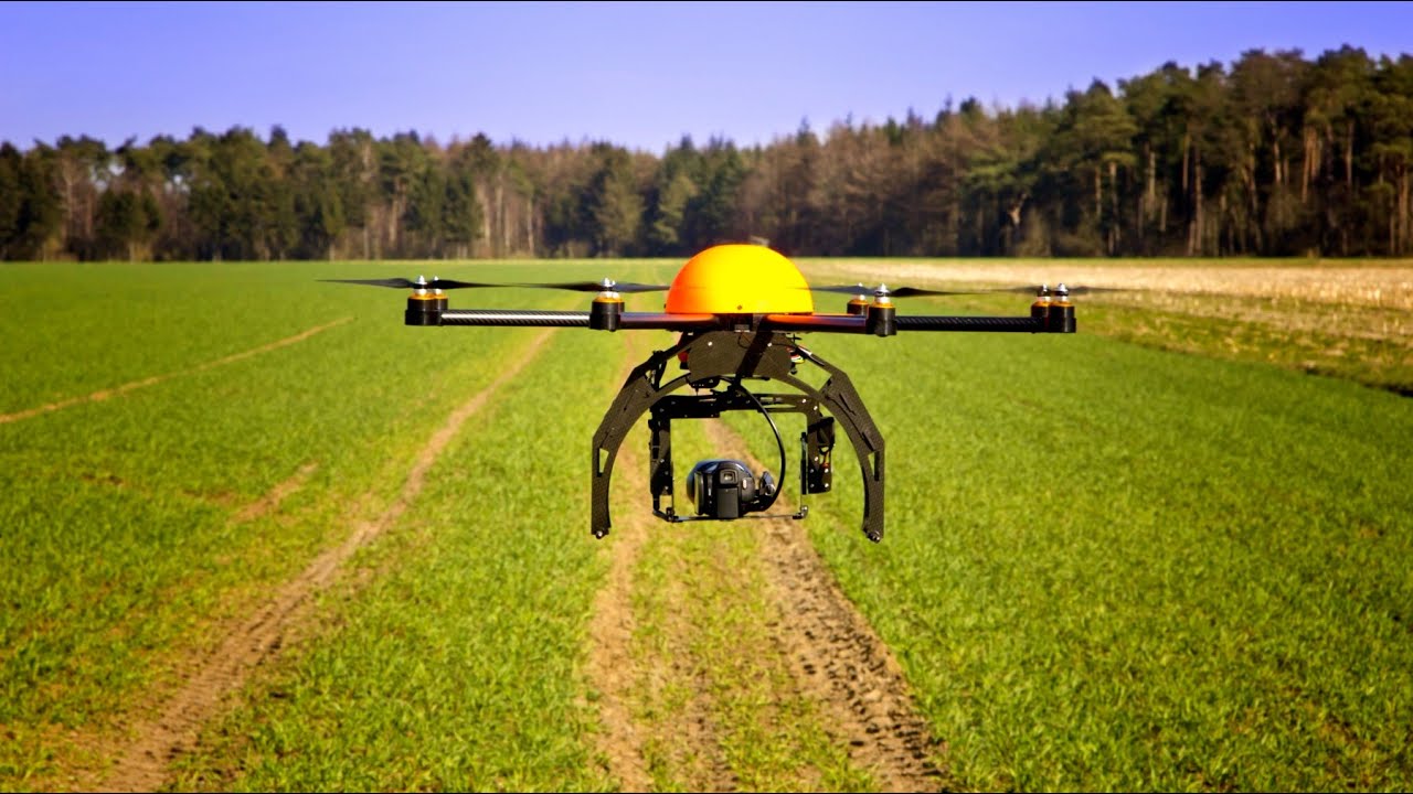
Drone, or UAV/UAS, technology suits a myriad of conservation and environmental-protection applications, offering quick, easy, and cost-effective aerial imagery as well as sensor and monitoring capabilities. Specific applications of conservation drones include forest health monitoring, forest inventory, wildlife surveys, anti-poaching activities (such as identification and deterrence through use of drone audible alarms), reforestation, compliance monitoring, and air-quality monitoring.
We understand that every business is unique, and no one service plan fits all. That’s why we work closely with you to create a tailor-made solution that meets your individual needs for an easy

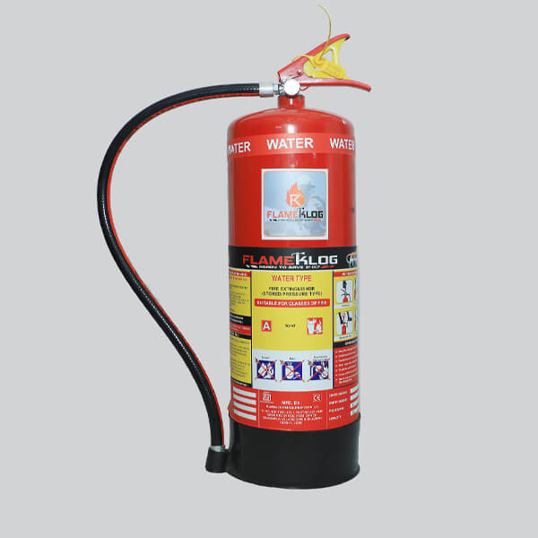
Work simply gets better with fire extinguisher.

Xerox copiers are robust with easy-to-use.
Portable Watermist at very affordable.

High Quality LCD Display Screens with Competitive Price

The award-winning projector range offers products for all needs.

Providing computer parts and hardware, hard drives.
Just like you, these people were once worried about their IT. Not any more!


Support. Strategies. Services. Solutions. You're just one click away!
Contact With Us


